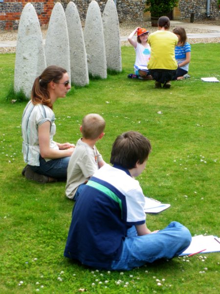
In June our session was looking at maps and how archaeologists used maps to help them find out about sites. We had several activities to take part in. We looked at Ordnance Survey maps and symbols; we had a real OS maps and had to learn how to read grid references to look for places.
We also used maps to look at place names and what they mean and we carried out a map regression exercise to look how places change over time and how archaeologists can use this information to help look for places to dig. To finish the session we sat out in the sun and drew a plan and map of the museum garden.


